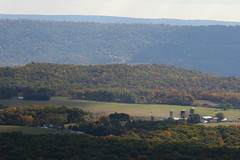
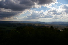
A week ago, I spent the day photographing the old National Road, between Hagerstown and Frostburg. As always, I stopped to enjoy the view from the top of Town Hill. Much to my surprise, there were quite a few others doing the same thing - perhaps 15 or so cars - more than I've ever seen there before. The leaves were just starting to turn, and the view was truly spectacular.
These photographs are really best viewed large - click on the thumbnail for a larger version.
I-68 and a church, with the Sideling Hill cut in the background.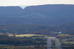
No comments:
Post a Comment