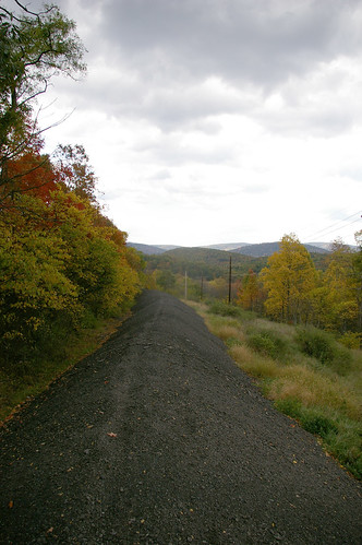
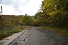
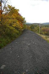
About two miles west of Flintstone, Maryland, I discovered a most curious use for an old National Road alignment. The road, now named West Wilson Road, splits off from MD144, and continues for a little while, providing access to a couple farms. Eventually, one is forced to stop, confronted by the sight above, a pile of ground up asphalt, ten or fifteen feet high, completely covering the old road surface. This continues for a while, before returning to the old road surface, a short distance before it ends, well below the grade of the current alignment of Maryland 144, as seen below.
To provide some sense of scale, the white speck at the end of the asphalt pile is my minivan:

2 comments:
So there really is an end of the road
It's an end, though certainly not the end. A similar situation occurs on both sides of Sideling Hill.
Post a Comment