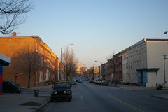
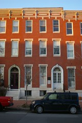
The National Road is split into two one way streets in downtown Baltimore - Lombard Street heading west and Pratt Street going east. The streets are lined with that icon of Baltimore architecture, the rowhouse. Here they are seen, looking east, with the skyline rising in the background.
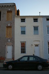
Formstone helped protect the walls of some of the houses that were made out of such cheap brick that they would weep moisture if not regularly painted.
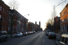
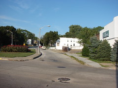
This view, looking west toward Union Square, suggests that some prosperity may be returning to the neighborhood.
On the opposite side of Union Square, one block north of Lombard Street, lies 1524 Hollins Street, former residence of author and journalist H. L. Mencken. The house, a National Historic Landmark, is not currently open to the pubic.
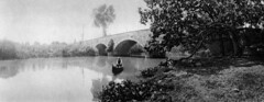
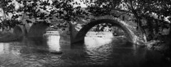
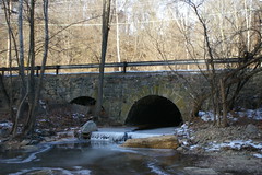
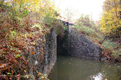
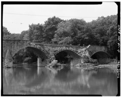
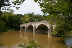
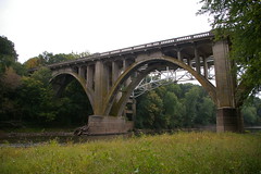
As we head west, the two halves of the road meet up and become one - Frederick Avenue. This old section of the road is just to the east of the Gwynns Falls. The route of the road was changed when a new bridge was built over the Gwynns Falls in the 1930s.
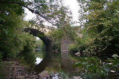
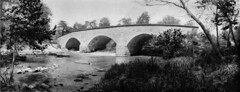
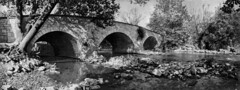
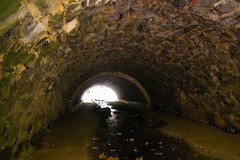
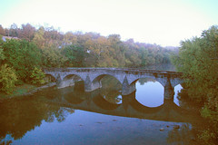
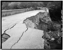
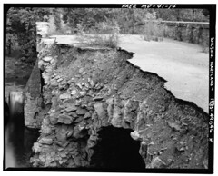
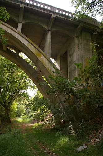
From below, one can see the remains of the old bridge.
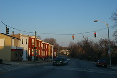
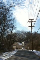
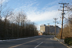
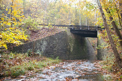
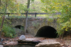
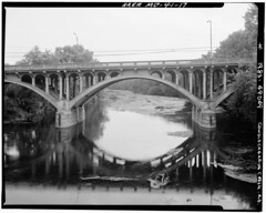
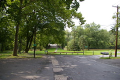
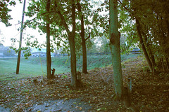
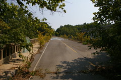
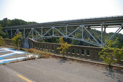
This view, looking east, shows the current route of the road. The old bridge was to the right.
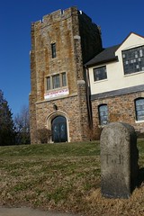
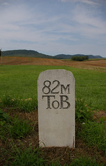
Milestone 3 is the first one extant in the city.
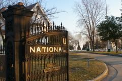
Just across the road is Loudon Park National Cemetery. Immediately to its west is Loudon Park Cemetery, whose tens of thousands of graves include H. L. Mencken and Ottmar Mergenthaler, inventor of Linotype.
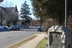
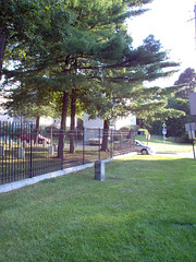
This marker, on the north side of the road, commemorates those from Irvington who served in World War I.
As we head west, we pass through the Irvington neighborhood, and the accompanying marker, installed by American's Byways.
One can almost spot milestone 4, hidden in the stone wall and brush on the north side of the road.
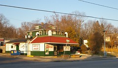
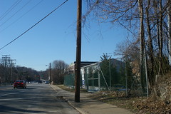
Kim's Carryout and Grocery, a former service station, is on the north side of Frederick Avenue, just east of South Rock Glen Road.
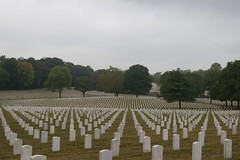
Baltimore National Cemetery sits on the south side of the National Road.
In front of Baltimore National Cemetery sits milestone 5 M to B, the only original milestone on the south side of the road. I strongly suspect that it may have been moved with the widening of the road.
This brings us to the western border of the city of Baltimore.